
I'm not normally out and about early enough to see the lighthouse lamps on. And to be truthful, until recently when I saw the bulbs glowing red, I didn't even know whether they'd been left on accidentally or, indeed, whether the lighthouse still performed its original function; or, if it comes to that, what that function actually was.
Asking around didn't reveal much other than 'had I seen that really tall lamp post outside the Lynton in Powderham Terrace because that's connected to the Lighthouse somehow'?
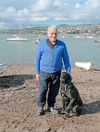
In such circumstances there's really only one place to go – to Reg Matthews' beach hut on the river beach.
Reg, having been the Teignmouth harbourmaster for more years than he probably cares to remember, has had me knock on his door before, and consequently he knows only too well that I'll listen very carefully; not really understand very much of it; go away, and get it all wrong.

So this time I'm going to ask him to vet what I'm writing down because, in all honesty, I feel that if you live in a port town such as Teignmouth then you really ought to make an effort to acknowledge what we're about.
For those really keen on the subject, Reg recommends The Nautical Almanac, which has charts and instructions and all sorts of stuff that's way, way over my head. So I pleaded for an Idiot's Guide. If you know Reg, you'll know that this kind of a request often meets with a particular exasperation. however, he being of a genuinely kindly nature, this is what he told me:
Yes, the lighthouse can still be used for navigational purposes although, more recently, red and green marker buoys have been put out at sea marking the channel in.
The lamppost in Powderham Terrace is known as The Back Light and the idea is for an entering vessel to line up the lighthouse lamp with the Back Light, thereby ensuring a clearance of the Ness Rocks, ie the lining up of the lights has nothing to do with navigating the main channel (which is what I'd automatically presumed).
Aside from the red and green marker buoys, there's the Lucette Beacon on the Shaldon side of the harbour mouth, behind which is the Reg Matthews' red light. Keeping those two beacons in line – on the left when entering the harbour and on the right exiting – actually marks the main dredged channel.
Apart from these, there are other permanent markers, such as the non-illuminated Point guide marker on the beach, which simply marks the end of the Point as well as showing the speed limit; quite a large green illumination tower which marks the buried harbour wall, extending from the marker itself to way back underneath the permanent beach huts; and one other non-illuminated green marker, slightly skew-whiff at its base if the sand's low enough down to see it, that marks the sewer outfall.
Hopefully this last is now redundant following the success of Operation Clean Sweep.
Reg tells me that although mainly straightened out, the outfall post was hit and bent by a vessel some years ago.
My thanks to him, as always.
Footnote: as stated, I asked Reg to look over this item prior to publication and almost immediately incurred his not inconsiderable wrath. I had originally written that Reg's beach hut was on the back beach.
'There's no such place,' said Reg. 'Never has been, never will be and who told you it was called the back beach anyway?'
I can't remember where the name came from, but I'm taking this opportunity of putting things right between us.
My understanding, now, is that The Point, which I had presumed was just that utmost tip of beach as far as you can walk before you start to paddle, actually runs right the way round the Point car park; from a now-buried groyne (unhelpfully) on the English Channel side to more or less the harbour side of the Morgan Quay flats.
This area is also referred to as the river beach.
Sorry, Reg. It won't happen again.
Comments
This article has no comments yet. Be the first to leave a comment.